Streets Collaboration Tool
GeoPlace · Technical Project Lead, since 2026
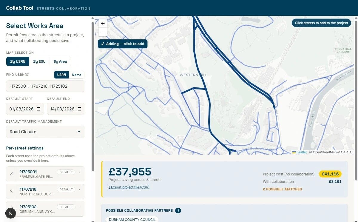
A tool to help highway authorities and utilities cost permits, model the savings available from collaborating, and coordinate planned works with each other.
The problem
HAUC(UK) turned 40 in 2026 — four decades of highway authorities and utilities learning, sometimes painfully, how to work together. The coordination challenge hasn’t gone away. It’s changed shape.
The data exists now. What still lags is the tooling that helps organisations see what the benefits of collaborating would actually be, and who their potential collaborators might be.
Presented at the HAUC Convention 2026
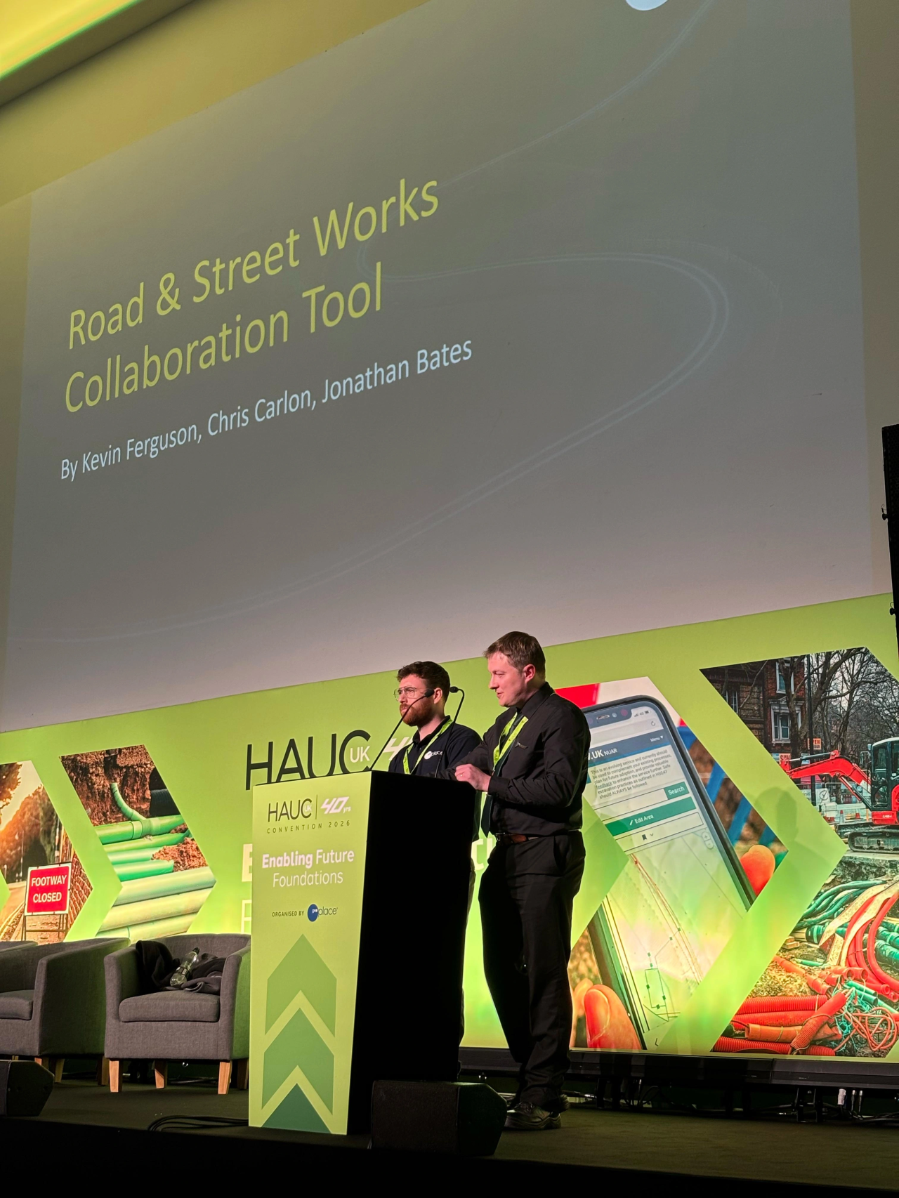
Christopher Carlon and I presented the tool in the Innovating Data session at the HAUC(UK) Convention 2026 in Manchester, on 23 April 2026 — the convention marking HAUC(UK)’s 40th year.
How it’s built
A containerised application: Python and FastAPI on the backend, integrated with Street Manager and the street gazetteer, with a Next.js and React frontend and Leaflet for mapping. It uses the StreetWorks SDK — a personal open-source project that turned out to be the right tool for the job — for its data handling.
Origin
The idea came out of the NWG Innovation Festival in 2025, in the DSIT “Unlocking the Value of NUAR” sprint led by Neil Brammall. Working with Jonathan Bates, Christopher Carlon and Howard Yeend, we pitched what we then called the RFG Collaboration Tool, and won our sprint with it.
It has grown from a three-day idea in a tent into a working prototype at GeoPlace.
Status
Still work in progress, but coming together now.